Lidar Street Tree Inventory: Automate your tree inventory
Urban greenery, in the form of street trees, not only enhances the aesthetics of our cities but also plays a vital role in purifying the air, providing shade, and supporting biodiversity. Maintaining a comprehensive inventory of street trees is crucial for effective urban forest management. Traditional manual inventories can be time-consuming, costly, and prone to errors. However, in today's digital age, there are innovative solutions that make street tree inventory more efficient and accurate. In this article, we'll explore some cutting-edge solutions to automate street tree inventory and streamline the management of our urban forests.

Why Street Tree Inventory Matters
Street trees offer numerous benefits to urban environments. They help reduce air pollution, mitigate the urban heat island effect, and enhance overall quality of life for city dwellers. However, for city planners and arborists to effectively manage and care for these trees, they need up-to-date and detailed information about each one. This includes data on tree species, age, health, maintenance needs, and geographic location. Manual tree inventories can be labor-intensive and often result in outdated or incomplete information.
Solutions for Automated Street Tree Inventory
1. Mobile Apps and GIS Technology
- **Mobile Apps:** Arborists and city officials can use mobile applications equipped with GPS to collect data on street trees directly in the field. These apps can record information such as tree species, height, trunk diameter, and maintenance requirements. Data is instantly uploaded to a centralized database.
- **GIS (Geographic Information System):** GIS technology allows for the creation of interactive maps that display the location and attributes of street trees. It's a powerful tool for visualizing and analyzing urban forest data, aiding in decision-making.
2. Remote Sensing and LiDAR Technology

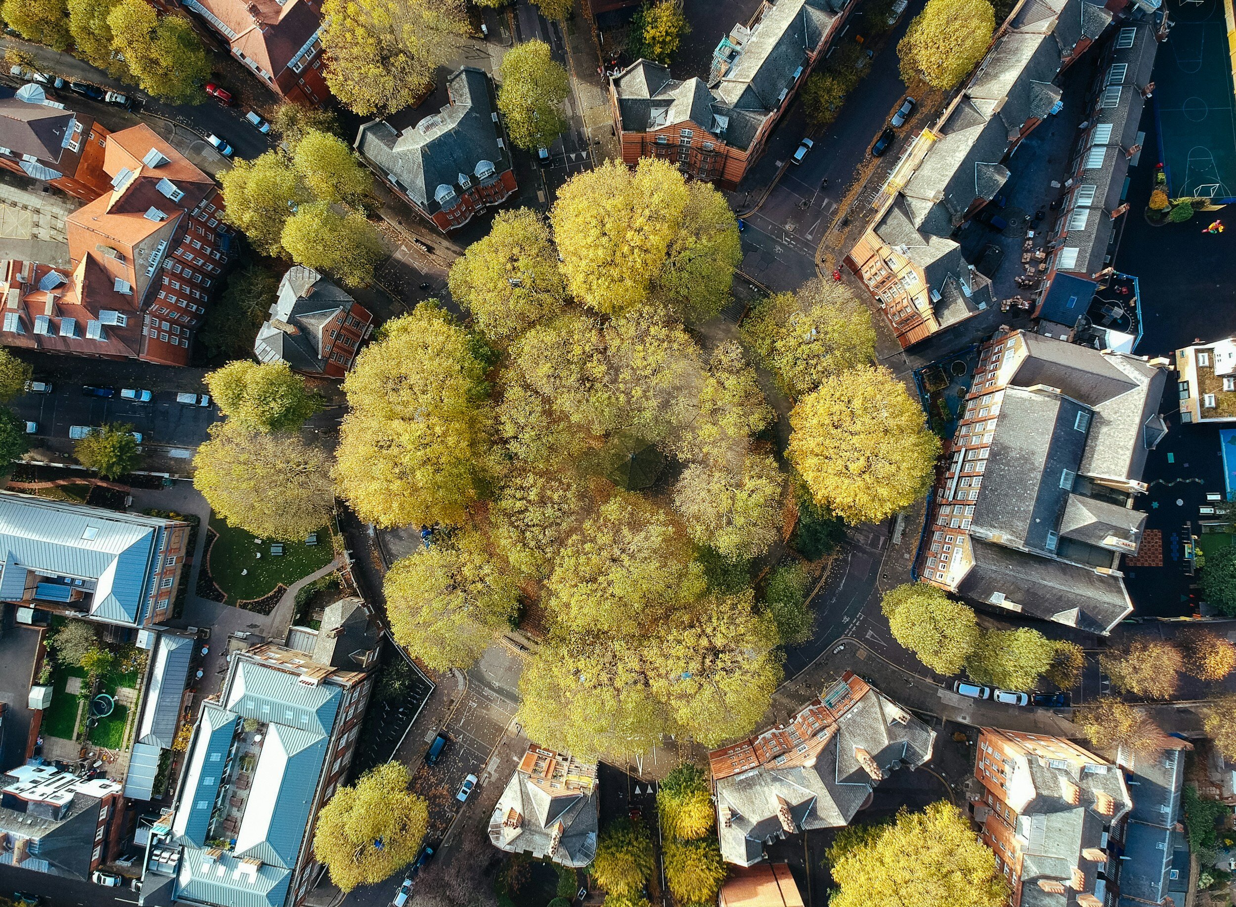
- **Aerial Imagery:** Aerial surveys using high-resolution imagery can identify and map street trees across large urban areas. Automated image analysis can even estimate tree height and canopy cover.
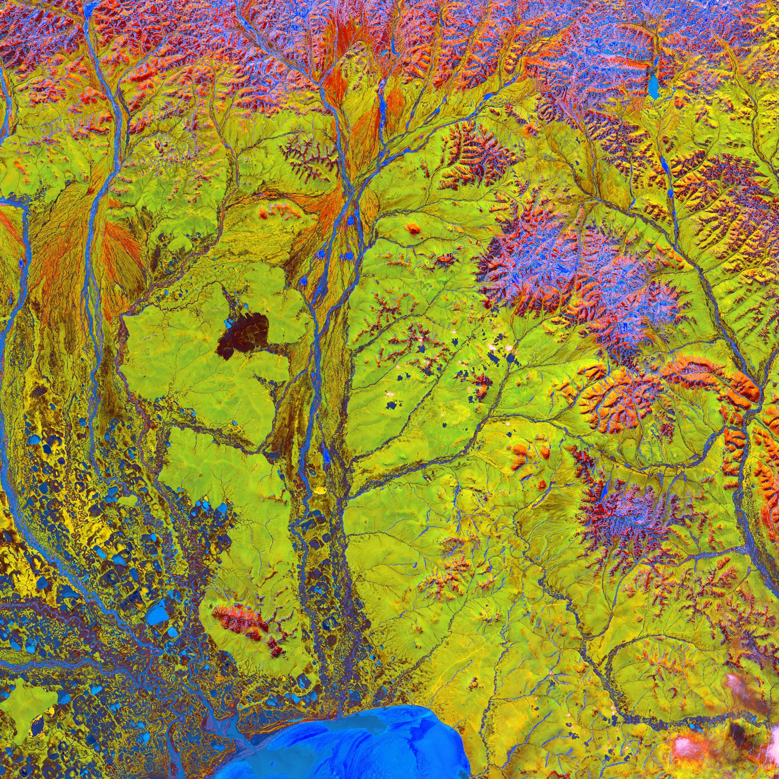
- **LiDAR (Light Detection and Ranging):** LiDAR technology, often mounted on aircraft or drones, can provide detailed 3D information about tree canopy structure, aiding in tree species classification and health assessment.
3. Machine Learning and Artificial Intelligence (AI)
- **Object Detection Algorithms:** AI-powered object detection algorithms can be trained to identify and categorize street trees from images or LiDAR data. This enables automated species identification and health assessment.
- **Predictive Analytics:** Machine learning models can predict tree growth patterns, helping urban planners proactively address maintenance needs and anticipate issues.
Benefits of Automated Street Tree Inventory
Automating street tree inventory brings several advantages:
- **Efficiency:** It significantly reduces the time and labor required for data collection, allowing arborists to cover larger areas.
- **Accuracy:** Automated solutions minimize human errors and ensure up-to-date information.
- **Cost-Effectiveness:** Over time, automation can save municipalities money by optimizing maintenance and replacement schedules.
- **Sustainability:** Well-managed urban forests contribute to environmental sustainability and improve urban livability.
Conclusion
Efficiently managing street trees is essential for sustainable, healthy cities. With the advent of mobile apps, GIS technology, remote sensing, LiDAR, and artificial intelligence, street tree inventory can now be automated, making it easier than ever for cities to monitor, care for, and expand their urban greenery. These solutions not only enhance the beauty of our cities but also contribute to a healthier, more livable urban environment for everyone.