An Open-Source Tool For Camera Trap Data, Available on Github
Better understanding of biodiversity through data acquisition in natural environments

Improving knowledge of biodiversity and ecosystems through monitoring natural environments without disturbance is a major challenge. It is an essential prerequisite for the implementation of effective conservation measures and for monitoring their effects. However, continuous data acquisition in natural environments is subject to numerous constraints, such as the time and number of people required for field surveys or the avoidance strategies of organisms that can lead to biased data. Thus, traditional approaches are difficult to maintain at large spatial and temporal scales that are sometimes unrepresentative of actual conditions.
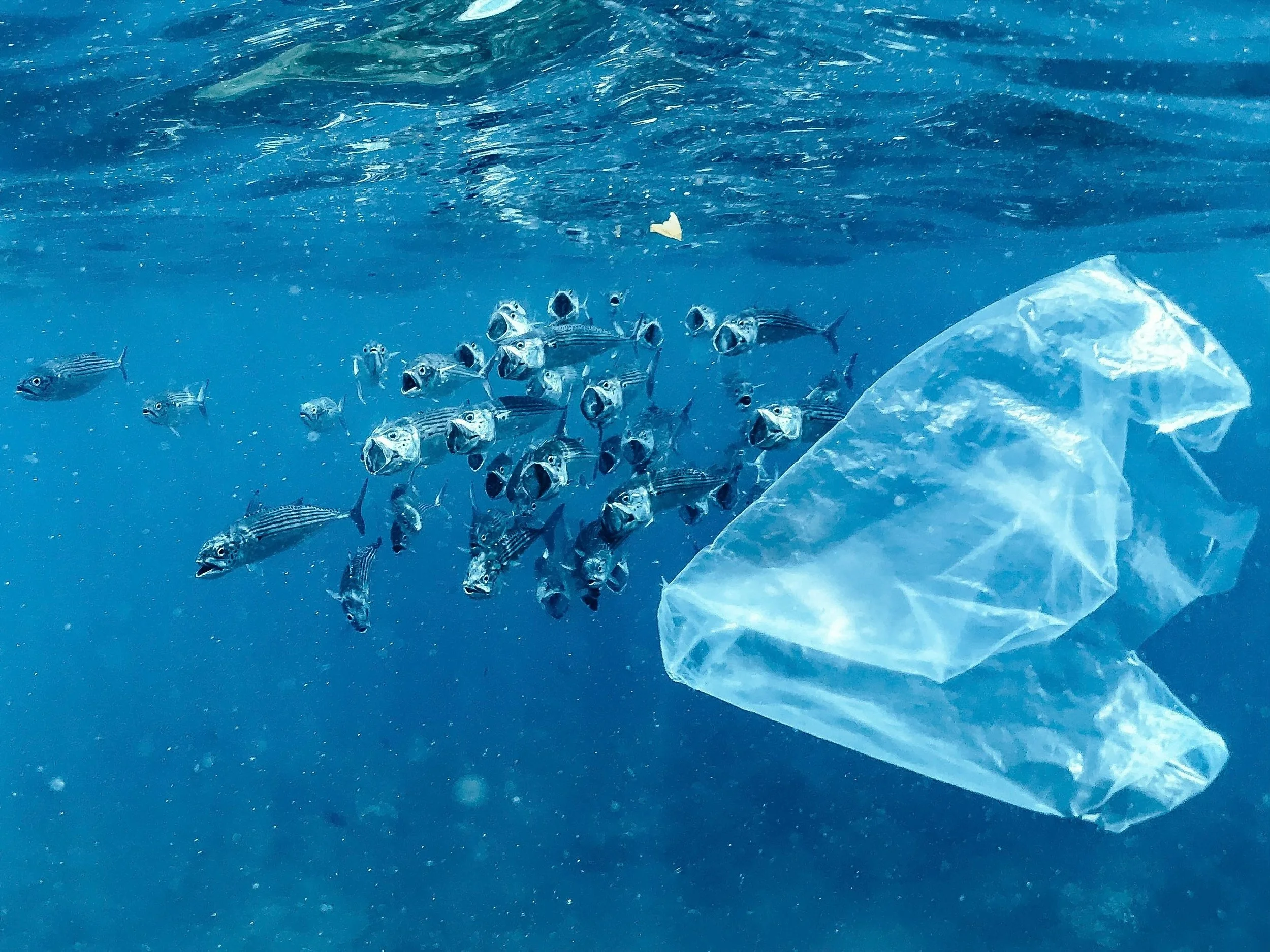
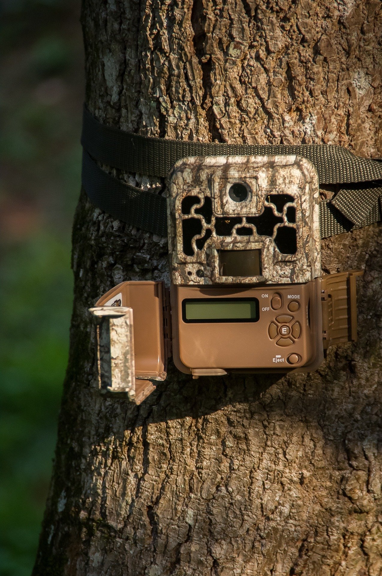
The emergence of new technologies, such as camera traps, has overcome some of these limitations. Indeed, once deployed in the field, camera traps acquire data autonomously. They allow continuous observation of wildlife and the ecosystems in which they live with minimal disturbance from field operators and can track a wide variety of organisms. Data can be acquired in a multitude of habitats, including those that are not easily accessible to humans (e.g., mountainous areas), at any time and under all weather conditions.
Today, there is a wide variety of camera trap models covering the different needs of the studies conducted. Indeed, the sensors constituting the photographic traps present specific characteristics concerning, for example, the mode of shutter release (e.g., automatic, by detection of movement) or the taking of photographs (e.g., resolution). Moreover, these camera traps can be used under different study conditions, for example, regarding the mounting arrangements and its height, or the use of baits. All these data collection parameters are defined according to the needs of the study. Thus, when acquiring data in the natural environment by photographic traps, it is necessary to characterize their parameters and their deployment conditions, to allow the appropriate processing of the collected data and the extraction of representative information on the monitored populations and communities.
Because of the variety of camera traps, the data acquired are also of various types. It can be photographs, sequences of photographs or short videos. Moreover, this collection method generates a very large volume of data. One of the major challenges is therefore the easy and fast processing of these data. Several types of information can be attributed to them, including taxonomic, behavioural or functional information. Annotating the data is a real bottleneck. Moreover, annotations can be of variable quality depending on the person doing the annotations. Three main types of annotators are typically distinguished: amateur naturalist, artificial intelligence, expert ecologist. The use of these different annotation types results from a compromise between confidence in the annotation and its speed.
EcoSecrets, a collaborative project initiated by Natural Solutions
In 2022, Mathilde Leclerc completed her internship as an AgroTIC engineer at Natural Solutions. During this internship (report available here), she identified the needs of the camera trap community in terms of data management and processing. To answer these needs, the development of EcoSecrets, an open-source web application dedicated to biodiversity actors, was started.
EcoSecrets allows for efficient management of media from camera traps and aims to allow for consistent and standardized annotation. This tool also facilitates the management of sites, deployments, as well as devices and their conditions of use. It thus allows the characterization of all studies based on camera traps.
The EcoSecrets EcoSecrets (natural-solutions.eu) Demo is freely available to test the application. As it is accessible without authentication, do not use confidential or sensitive data sets, as the data entered will be visible by all testers. User documentation is available to help you get started with the tool.
Currently EcoSecrets is an early-stage application that we want to develop together. It is for the moment a prototype presenting a minimal solution for the management and processing of camera traps and their media. Whether you are a member of an association, a naturalist in a research department or a public organization for the protection of nature, as an open-source project, EcoSecrets will evolve and develop to meet your needs and demands. The whole camera trap community is invited to participate in its development. This will allow us to build together the ideal tool to allow you to obtain the full potential of camera traps and thus better understand and preserve biodiversity.
What does open-source mean?
EcoSecrets is open-source (GNU GPL version 3 license) which means that its code is freely available. The code of this application is available on GitHub : https://github.com/NaturalSolutions/ecosecrets . You can install the tool at home, test it, use it and participate in its development.
Being an open-source tool also means that all the code implemented during future developments will be accessible on the application's GitHub repository. Therefore, all users of EcoSecrets will benefit from the improvements made by all contributors.
Anyone interested in the project can collaborate in the construction of this tool whether they have knowledge of web development or not, for example, by creating issues or contributing to documentation. See below for how it works!
HOW TO CREATE ISSUES ON GITHUB?
A FEW KEY STEPS:
Create an account on GitHub, if you don't have one.
Then, you can create issues by clicking on the "issues" tab below the project name as shown in red on the figure below

Then click on the green "new issue" button (see figure below) to enter your text on the topic you wish to address.

The next level to contribute is to propose developments when you have skills in web development, database, or design via pull requests.
Stakeholder-identified features that require funding
Several new features have already been mentioned by the numerous EcoSecrets beta-testers and for which we are looking for funding. If you also need these features, do not hesitate to contact us so that we can set up a mutualized financing with all the concerned entities. Among these new features:
EcoSecrets/GeoNature - Include data in the biodiversity data stream at national and international level by a connection between EcoSecrets and GeoNature (and why not GBIF?)
Video - Make the current prototype compatible with video management and processing
Automated annotation - Integrate the DeepFaune algorithm to pre-process media
If you have other needs you can already share them on GitHub and contact us if you want to tell us about them or fund them. Natural Solutions can offer you services for installation, maintenance and development of new features.